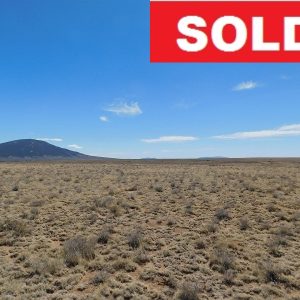
Description
Property Details
County: Las Animas
State: CO
Property: 12130000
Acreage: 5
Legal Description: 09-29-60 S2SWNENE-CONT-10.0 ACRS M/L LESS 1.06 AC FOR R.R.
Annual Property Taxes (approx.): $23
ZONING: RESIDENTIAL
Roads: DIRT ROAD ACCESS

Telephone Number: 877-299-7621
Join us on social media:
![]()
![]()
![]()
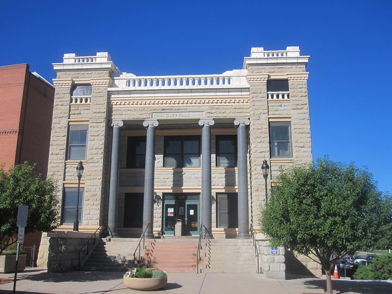


Las Animas County is one of the 64 counties in the U.S. state of Colorado. As of the 2010 census, the population was 15,507. The county seat is Trinidad. The property is located less than one hour from Trinidad. The county takes its name from the Mexican Spanish name of the Purgatoire River, originally called El Río de las Ánimas Perdidas en Purgatorio, which means “River of the Lost Souls in Purgatory.”
According to the U.S. Census Bureau, the county has a total area of 4,775 square miles (12,370 km2), of which 4,773 square miles (12,360 km2) is land and 2.7 square miles (7.0 km2) (0.06%) is water. It is the largest county by area in Colorado.
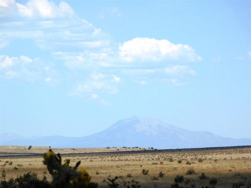
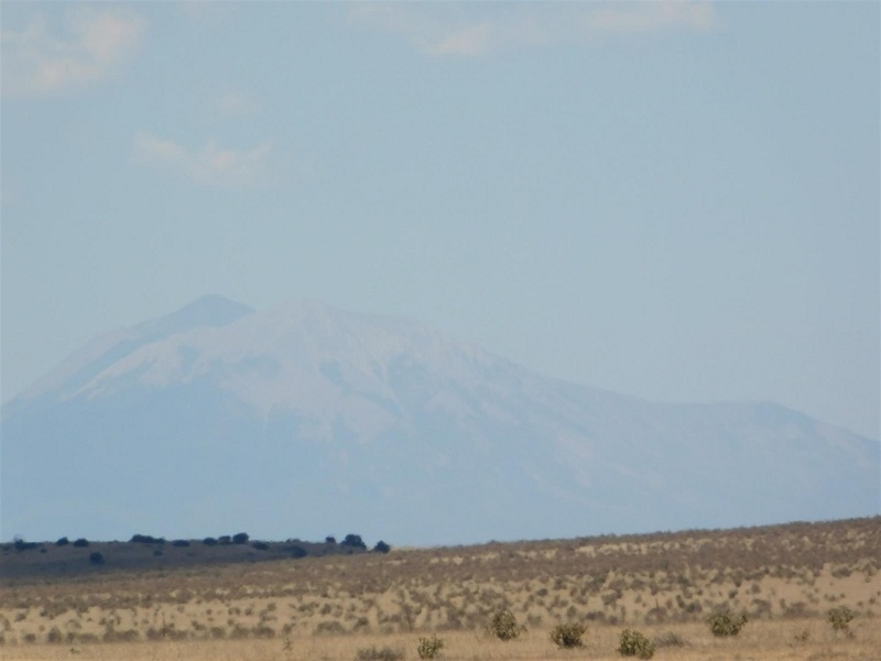
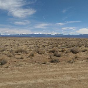
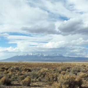
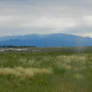
Trinidad is situated in the Purgatoire River valley in far southern Colorado at an elevation of 6,025 ft (1,836 m). The city lies 13 mi north of the New Mexico border. On the northern end of the town is Simpson’s Rest, a prominent bluff named for early resident George Simpson, who is buried atop it. North Avenue leads to a rut-prone county road to the top of Simpson’s Rest for overviews of the city. The vista from Simpson’s Rest includes Fisher’s Peak, a prominent mountain of 9,600 ft (2,900 m) in elevation, southeast of the city. To the northwest are the prominent Spanish Peaks.
Trindad experiences a semiarid climate, with hot summers and cold winters. Summers days are hot, but due to Trinidad’s high elevation, summer nights are cool, and temperatures drop sharply after sunset. Winters are cold, but milder than in many mountain towns in Colorado. In the winter, daytime highs are usually above freezing, but temperatures below 0 °F or -17.8 °C are possible, especially at night.
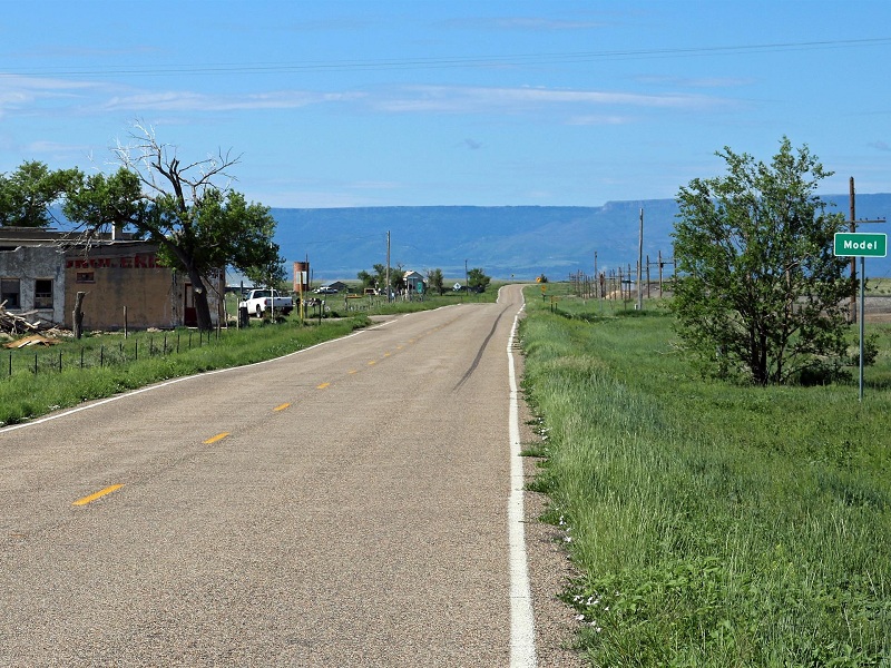
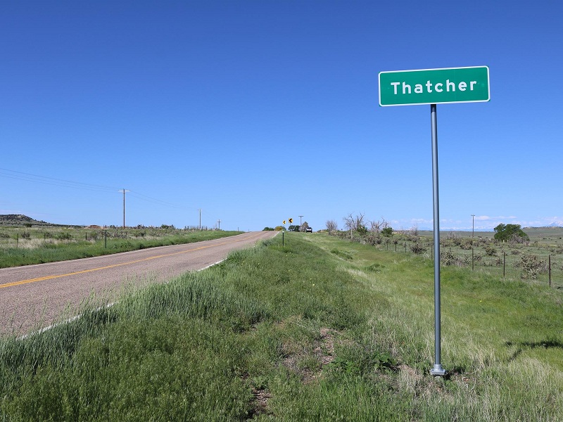
Property is located only a short drive away from the towns of Model and Thatcher. It is less than an hour from Trinidad, the county seat for Las Animas county.
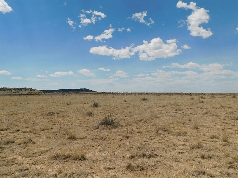
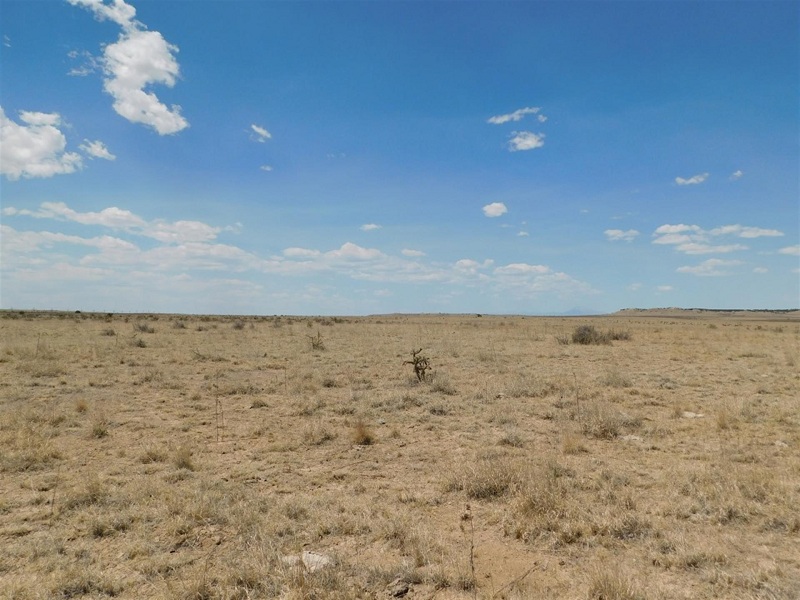
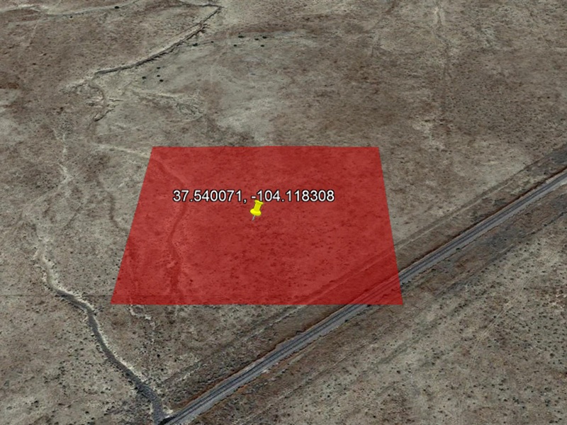
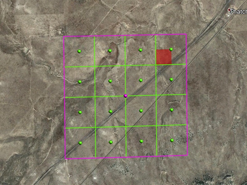
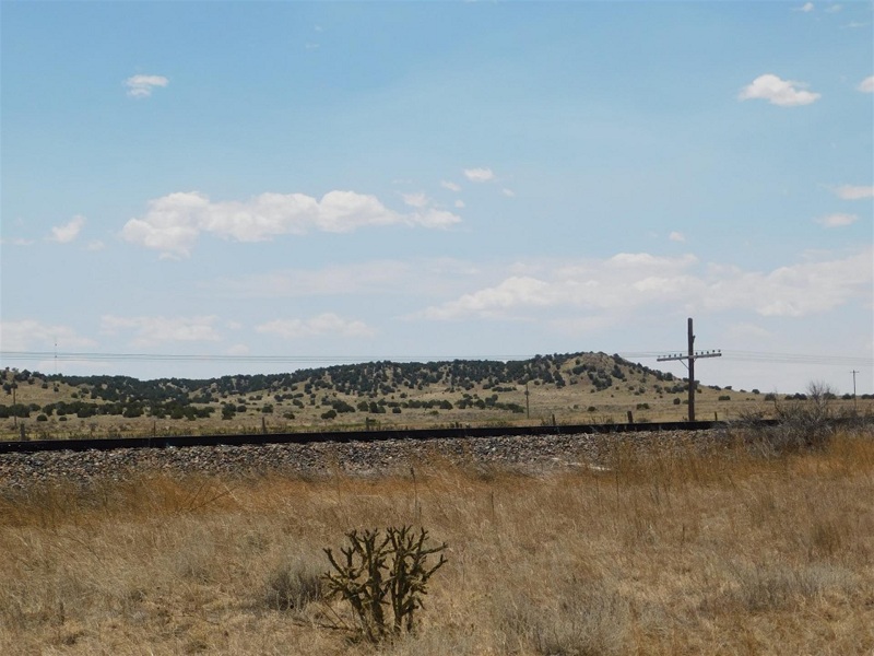
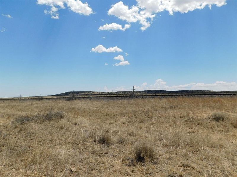
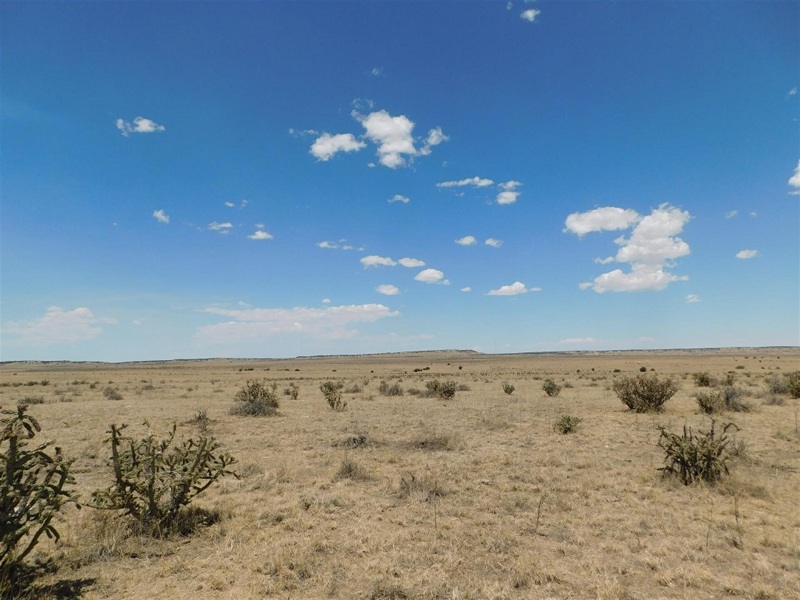
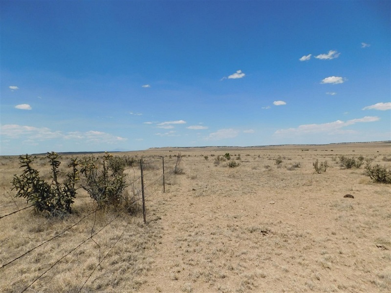
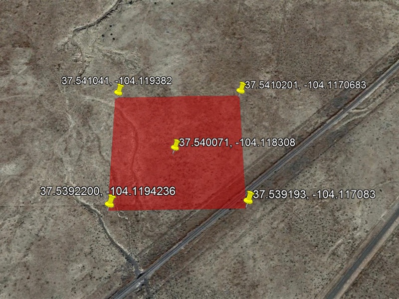
Las Animas county. The property is right near the railroad tracks you can see in the Google Earth picture of the parcel and also the GPS location map below. There are dirt roads in the area but according to the photographer, who took pictures of the property, the road going to the property is in pretty rough shape and it would be best to have a suitable vehicle to access the land.
The county did not have the GPS or exact location information for this parcel. In order to get the exact boundaries of this property, a survey will need to be done. Having said that, I did hire a third party company that specializes in land research among other things and the following GPS information comes from them. Again, I want to underscore that the GPS information below gives the APPROXIMATE location of the property. NOT the exact location. If you decide to purchase this property, it is STRONGLY recommended that you pay for a professional survey.
County legal description appears to show property is 8.94 acres, however another source, a local realtor, researched the property and stated that this figure was incorrect and it is actually 5 acres. I am selling this as a 5 acre property, again, in order to get the exact dimensions and location you will, again, need to get an exact survey done. The survey may reveal that the realtor was incorrect and in fact the property is 8.94 acres. That is a possibility. But I can’t promise this.
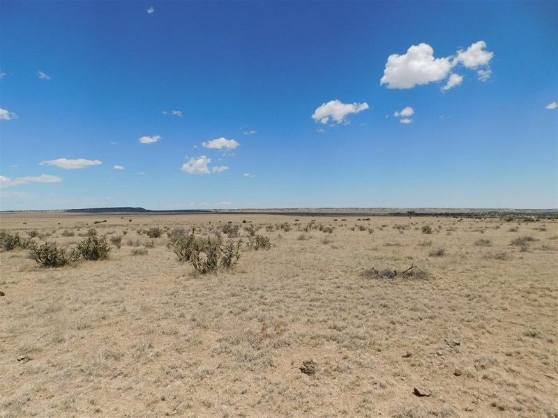
As to roads, the photographer who took pictures of this property (I have never been, I live in California and have never visited the property) stated that there were dirt roads to the property, however they were in bad shape in certain places, so you want to ensure you have a suitable vehicle.
Another third party source, a realtor who works in this county, reported that it was surrounded by a farm. I have no information on this farm, but if this is accurate, it appears to indicate activity in the general vicinity of this property — in other words, it isn’t totally in the middle of nowhere. Again, if that source is accurate.
Township and Range information:
Township 29 South, Range 60 West, Section 9, South Half of the SouthWest 1/4 of Northeast Quarter of the Northeast Quarter
Property Details
County: Las Animas
State: CO
Property: 12130000
Acreage: 5
Legal Description: 09-29-60 S2SWNENE-CONT-10.0 ACRS M/L LESS 1.06 AC FOR R.R.
Annual Property Taxes (approx.): $23
ZONING: RESIDENTIAL
Roads: DIRT ROAD ACCESS

Reviews
There are no reviews yet.